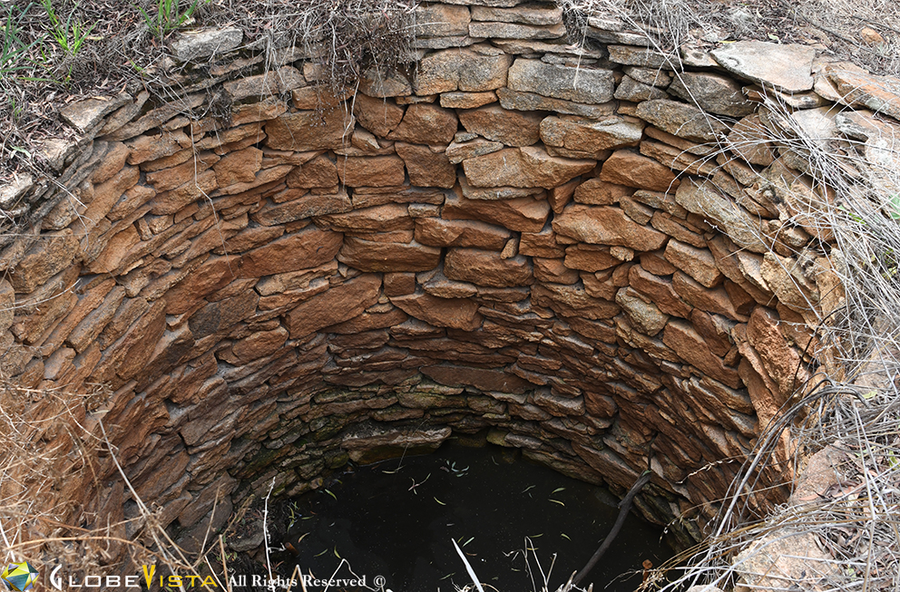
Driving through the Wheatbelt region from Toodyay through to Ennuin you will notice historic signs along the roads identifying old wells. These wells were built along the Yarragin Road (Goldfields Track) in the 1870s and 1880s for pastoralists and later prospectors, as a water supply source. The Naaning Well, Trayning Well, and Koorkoordine Well are to name a few.
These wells were vital to survival as conditions were harsh and unforgiving.
From Plaques
On 1 October 1888 the Yilgarn Goldfields were declared after several discoveries of gold at Maujakine, Eeuin, Golden Valley and Southern Cross. The Yarragin Road was used to access the Yigarn Goldfields for several years only, but it had an effect on the development of the district and its residents.
The quickest way to reach the Yilgarn Goldfields from Perth at this time was by rail to Northam and then by road to Goomalling and then east by horse or on foot along the Yarragin Road. Water was an issue to supply all travellers along the track with many wells only holding water over the winter months. Many of the wells sunk were relatively shallow and not well maintained.
Henry Ernest Parry, Resident Engineer for the Eastern District Railway and J Mills, who was the sheep inspector for the Eastern Districts were contracted by the government to undertake a survey of the track and produce a report on the availability of water supplies and places where wells might be sunk on the Yarragin Road. From his report a map was produced in January 1888 providing prospectors with details of water and feed from horses along the way.
There were two routes that prospectors could choose from to reach Yilgarn along the Yarragin Road. One was the “Sandalwooders Track” that went via Wilgoyne and Elachbutting and the other was a less used track through Mangowine to Eenuin.
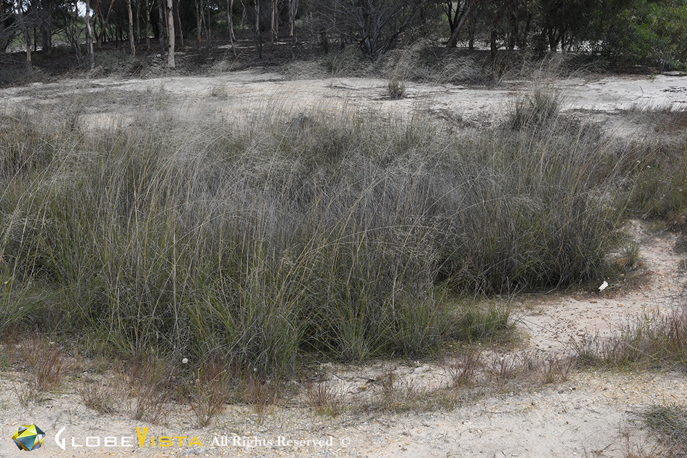
Many wells were built at locations of soaks. Soaks are where water generally seeps into the sand and is stored below the surface, sometimes as part of an ephemeral river or creek system.
Aborigines would scoop out the sand or mud using a coolamon or woomera, often to a depth of several metres, until clean water gathered in the base of the hole. Knowing the precise location of each soakage was extremely valuable knowledge. It is also sometimes called a native well.
References: